Orienteering course planned for Whiting Bay
By Daisy McNamara
A new orienteering map for use at a dedicated course at the Community Land Initiative in Whiting Bay will soon be available, with a range of courses for every age and ability.
Orienteering involves competitors navigating to control points marked on a specially produced orienteering map. It can be a mentally and physically challenging sport, but is also friendly and accessible to everyone.
In competitive orienteering, the challenge is to complete the course in the quickest time using the route you believe to be the most efficient.
Ayrshire Orienteering Club (AYROC) approached the Arran Trust earlier this year and was awarded a generous grant to commission competition maps, including maps of the community land.
Detailed maps of the community land - far more detailed than Ordinance Survey maps - were created for the event and these have been used to establish a permanent orienteering course which can be used by anyone wishing to try the sport.
The professional map covers all the community land, allowing for four different courses, each at a different level.
Starting with the white course, a short route that sticks to the paths, with simple navigation and no route choice, the courses progress through to yellow, orange and light green. The light green course runs far up the back of the land, with significant route choices and little in the way of paths to follow.
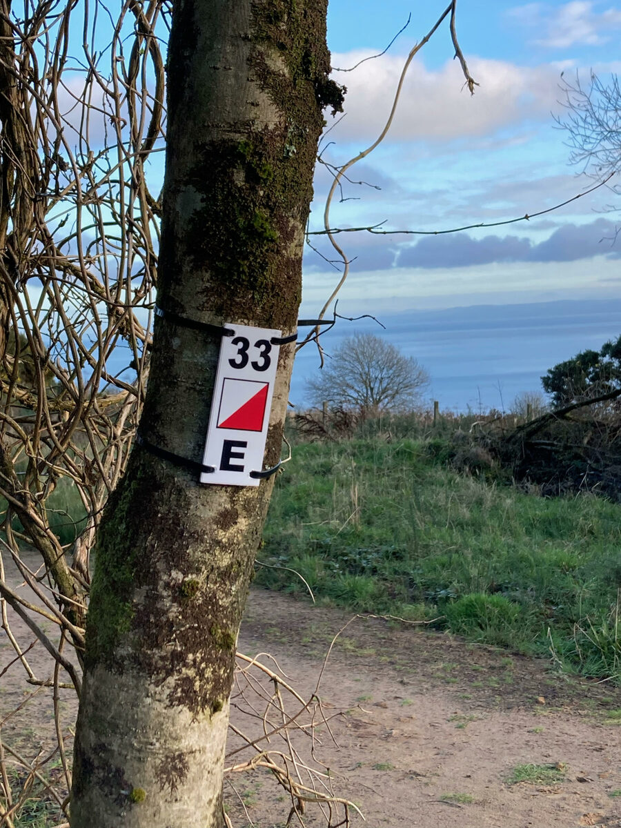
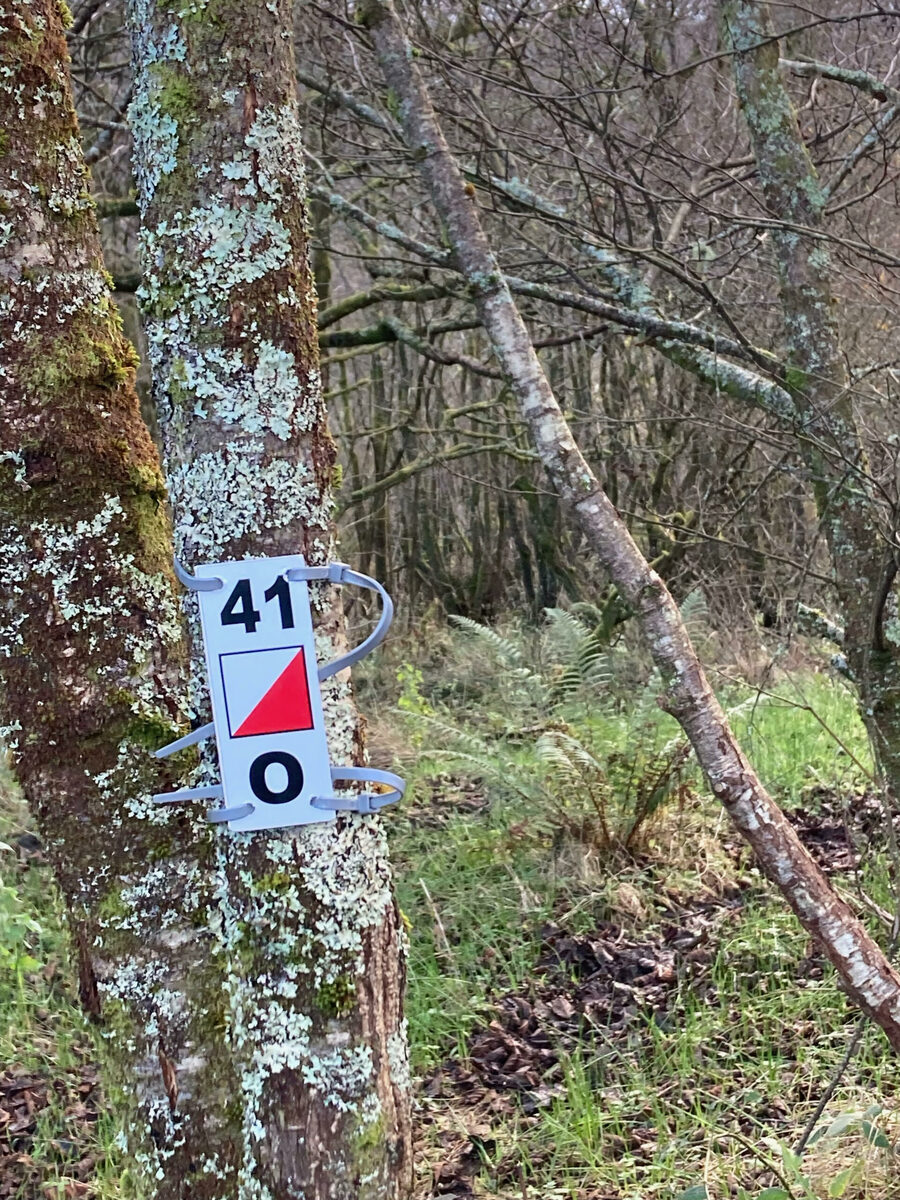
More than 30 small controls have been set throughout the area, each with a unique number-number-letter code for identifying which marker you are at.
The permanent course will be a great asset to the island's orienteers and a useful resource to improve orienteering skills, or an introduction for those wanting to give the sport a go for the first time.
Masterplan Adventure hosted the Coast and Islands orienteering week in July this year, bringing more than 100 orienteers to Arran for the last two days of the competition. Competitors run in Merkland Woods, Brodick Castle grounds and the Community Land Initiative in Whiting Bay.
The orienteering map will be available at island outlets.
A control site at Whiting Bay. no_b48orienteering02


Sign up to our daily Newsletter
Permission Statement

Yes! I would like to be sent emails from West Coast Today
I understand that my personal information will not be shared with any third parties, and will only be used to provide me with useful targeted articles as indicated.
I'm also aware that I can un-subscribe at any point either from each email notification or on My Account screen.
Accept
Cancel
You may also like


Looking back at a life in newspapers
Jan 21, 2024

A celebration of all the arts on Arran
Jan 21, 2024

Irene is Labour general election candidate
Jan 21, 2024

Crofting life talk at society meeting
Jan 21, 2024


Sign up to our daily Newsletters
Permission Statement
Yes! I would like to be sent emails from West Coast Today
I understand that my personal information will not be shared with any third parties, and will only be used to provide me with useful targeted articles as indicated.
I'm also aware that I can un-subscribe at any point either from each email notification or on My Account screen.
Accept
Cancel
© 2025 Wyvex Media Limited.